There are numerous day hikes around Tokyo, some suitable for beginners, such as Mt. Takao (599 m), where children can also hike. There are multiple ways to reach the summit, including a gondola, a chairlift, and several hiking trails. There are also more advanced hikes, such as Mt. Kentoku (2031 m), which takes around 3 hours to reach the trailhead from Shinjuku. The hike features a strenuous incline, and just before reaching the summit, there is a steep rock ledge wall with chains that you must traverse. I haven’t hiked Mt. Kentoku yet, but it is on my bucket list. I prefer an intermediate hike, far enough to get away from the crowd and challenging enough to leave me sore for the next few days, so Mt. Tonodake it is!
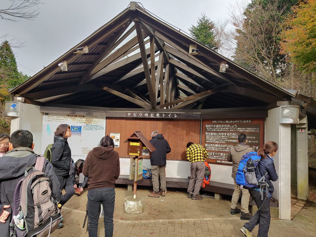
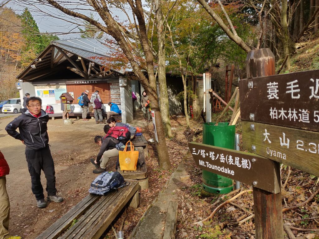
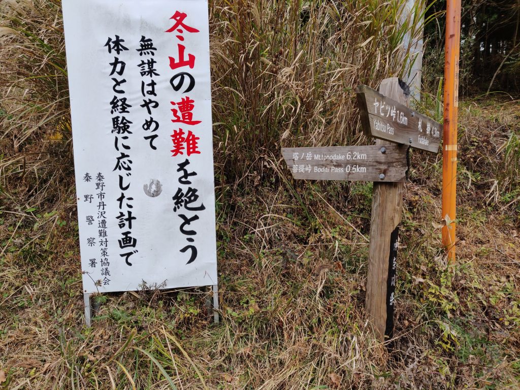
There are a couple of ways you can tackle the peak. According to this fantastic site with updated bus timetables, there are two options. One of the ways is called the “Fools Ridge,” which goes from Shibusawa Station; obviously, we didn’t take that route. Instead, we left from Hadano Station, then took a bus to Yabitsu-Tōge. From Yabitsu-Toge, you can follow the signs for Mt. Tonodake. You’ll have to go down the mountain along a paved road for about 10 minutes until you’ve reached the trailhead. From here, you start the ascent up to the peaks. Mt. Tonodake is 6.2 km away. The signs are well-marked, so there shouldn’t be any problems reaching the final destination.
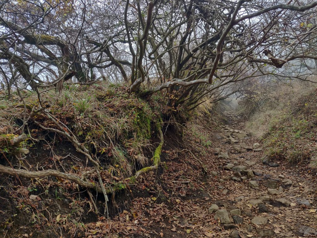
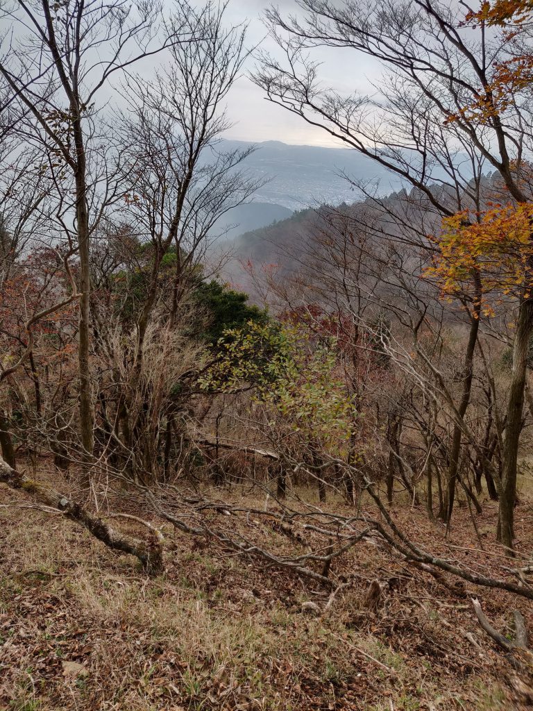
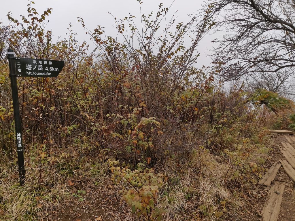
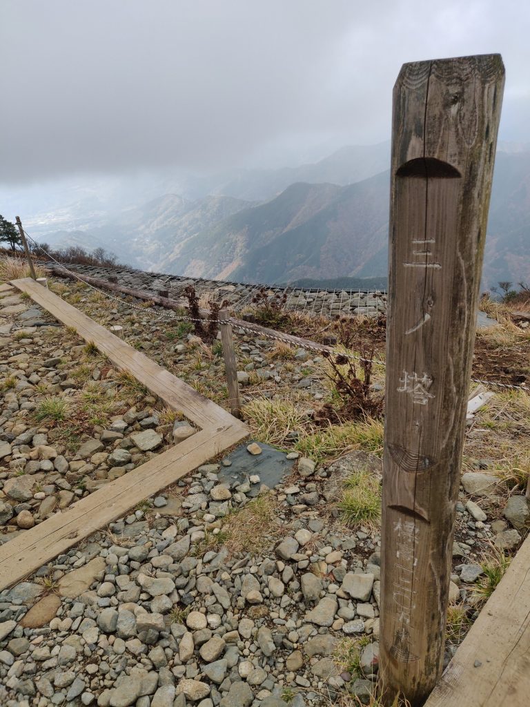
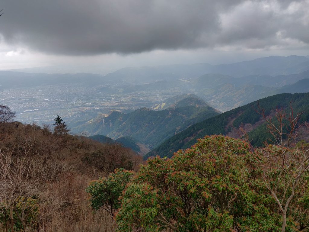
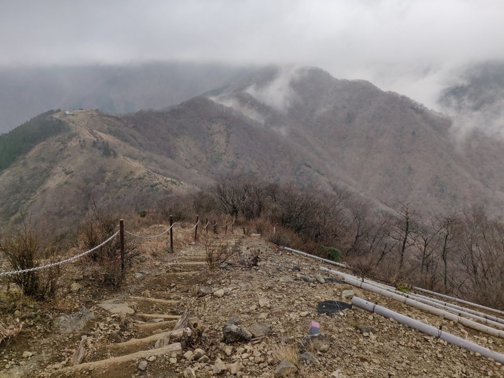
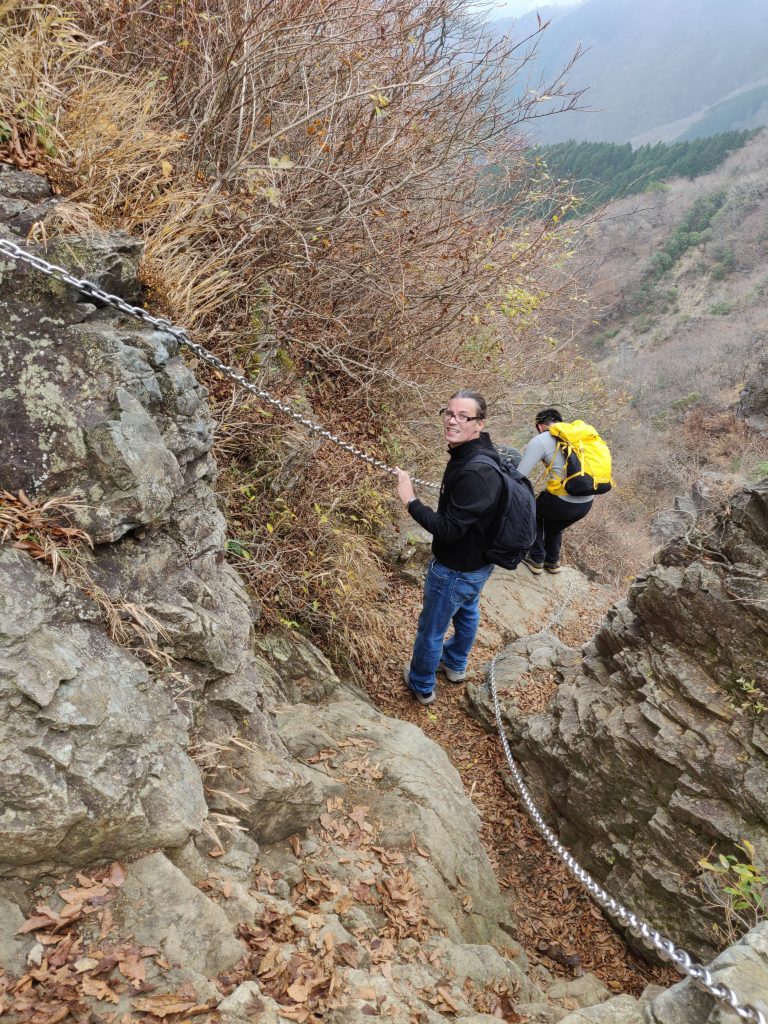
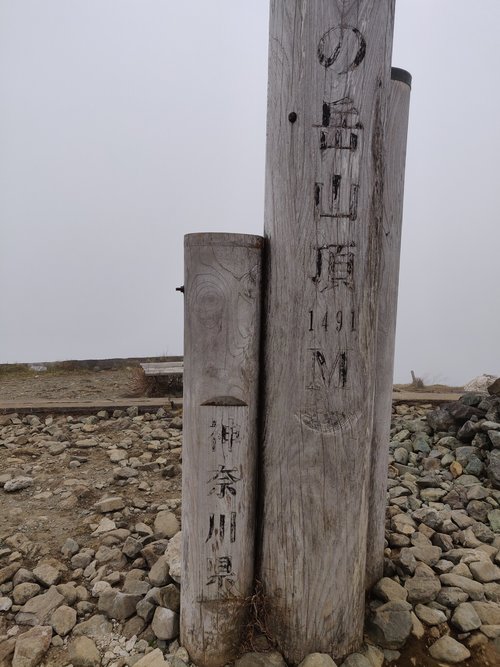
About 1.5 km up, you’ll reach Ninoto peak (二ノ塔), just a little further is Sannoto peak (三ノ塔). Once you’ve reached Sannoto peak, you’ve done most of the steep incline. From there, you follow the ridge line up to Karasuoyama (烏尾山), Gyojatake (行者ケ岳), Mt. Shindainichi (新大日), and finally Mt. Tonodake (塔ノ岳). While traversing from Sannoto to Tonodake, the trail is relatively manicured, most of the time. There are wooden pathways that you can follow, along with chains and ladders for you to hold on to if needed. Once you’ve reached the summit of Mt. Tonodake, there is a hut there where you can buy a variety of drinks and food, ranging from hot tea to beer to Cup Noodle. (If you’re looking for hot ramen, some huts serve it on the way down to Okura.) There are plenty of spaces to eat outside as well, but we took the opportunity to get out of the freezing wind and go inside. They say that on a clear day, you can have a great view of Mt. Fuji, but unfortunately for us, we didn’t have a clear day.
On our way down, we decided to head towards the Okura bus stop to Shibusawa Station. Again, the signs are well marked with some wooden pathways and chains. It is steep, so if you have bad knees, hiking sticks would be a helpful accessory. Once you’ve reached the bottom, you’ll come to a paved road that leads to the bus stop. Along the way, some residents may have vegetables or fruit sitting at their front gate. If you’d like, you can take some and leave the money in the jar.
Overall, it was a fantastic hike. It took us approximately 5 hours of actual hiking to complete the 16.4 km route. We saw people of all ages, from young to old, scaling the mountain. If you want to bring young children, there are accommodations on the hill, from Okura up to Tonodake, where you can stay overnight. It could be a fun family adventure.
Best of luck and happy hiking,
Kai